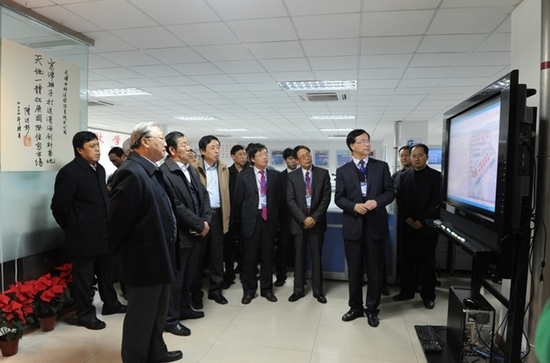
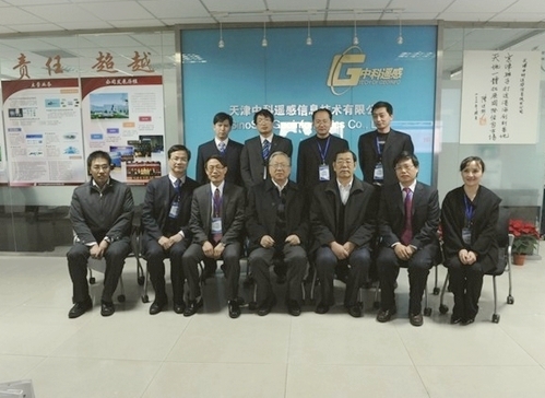
Lu Yongxiang, President of CAS and Vice-chairman of NPC Standing Committee, visited China Remote Sensing Geoinformatics Co. Ltd., on November 30, 2010. Lu’s inspection tour was accompanied by Wang Zhiping, Deputy Mayor of Tianjin, Gu Xingfa, Chairman of the Company and Director-General of IRSA, and Wang Jinnian, Vice Chairman and Deputy Director of IRSA.
Located in Tianjin, China Remote Sensing Geoformatics Co. Ltd. is a high -tech enterprise controlled and operated by IRSA. It was established in 2007, technologically supported by National Engineering Research Center for Geoinformatics of IRSA. It provides tailor-made spatial information technology solutions for various target users. Currently its products include digital city and digital village information platform, remote sensing image processing system, and so on.
China Remote Sensing Geoinformatics Co. Ltd., as a success example of transforming research results into commercial products, got the approval of President Lu. He urged that the company should make more efforts to promote the industrialization of research results for the benefit of local economy and social development.