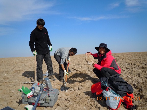
From October 27 to November 2, 2010, Professor Shao Yun, the director of the division of microwave remote sensing from IRSA, together with her team members Dr. Gong Huaze and Dr. Liu Li, probed into Lop Nur Basin, collecting soil samples, and measuring the roughness and spectrum of the surface respectively in some selected regions of Lop Nur Basin. Based on field investigation and subsurface microwave remote sensing technology, Shao’s team had a new discovery on Lop Nur.
Lop Nur was once a great saline lake in most time of its history, and now is one of the driest places in the world since it finally dried up in about 1962. It is well-known for its ear-shaped feature in optical remote sensing images taken by an Earth Resource Satellite of NASA in July 1972. These ear-shaped lines are considered as the shrinking traces of Lop Nur in various periods of history. Nevertheless, according to multi-source Synthetic Aperture Radar (SAR) images, the shrinking lines of ancient Lop Nur is larger than that of “Ear” shows. The different texture is caused by SAR’s penetration capability, with which SAR is capable of penetrating the arid salt crust in Lop Nur, detecting the subsurface targets and materials.
In addition, Shao’s field study has validated the existence of the western lakeshore line of ancient Lop Nur, which was later overlaid by the sediments of its western lake basin. “Ancient Lop Nur is more like the shape of an enclosed big circle than the shape of a big ear, and a conclusion could be deduced that the area of ancient Lop Nur is perhaps double of that ‘Ear’shows”, Shao said.
SAR remote sensing technology provides a key in decoding the evolution and extinction of Lop Nur, and this further demonstrates the great application potential of SAR technology in the study of arid region.