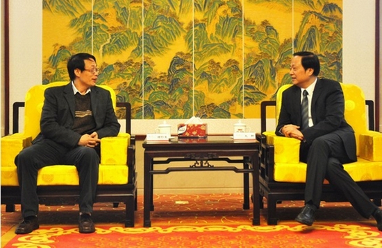
On October 31, 2010, IRSA General Director Gu Xingfa and PICC P & C Vice President Wang He met at the headquarter of PICC P &C to exchange the views on integrating remote sensing technology into PICC’s insurance service.
The cooperation between two sides focuses mainly on agriculture-related insurance area since China suffers frequently from natural disasters like flood, drought, and typhoon, which inevitably cause heavy damages on national economy, particularly on agriculture. Institute of Remote Sensing Applications (IRSA), with its spatial technological advantages, contributes to China economy from the aspects of crop watch, climate and environmental monitoring, disaster prevention and reduction and so on. Likewise, PICC Property and Casualty Company Ltd. (PICC P & C), as a subsidiary of PICC, enjoys leading professional advantages in key business areas including agriculture-related insurance. Both IRSA and PICC P & C serve as the safeguards in guaranteeing the healthy development of China economy.
The common challenges and opportunities prompt the cooperation between IRSA and PICC, which will no doubt benefit national economy and people’s livelihood in an innovative and efficient way.
IRSA can provide whole-round technological support for PICC in its whole operating phases such as underwriting, checking loss, and claiming settlement. Additionally, IRSA also offers decision-making help in respect of property insurance marketing and risk rate evaluation.
The application of spatial remote sensing technology in insurance industry had been integrated into IRSA’s “Innovation 2020” Project.