The Brahmaputra, Indus, Salween and Irrawaddy rivers,all flowing from China’s Tibetan Plateau, are among the most important rivers in Asia and even in the world. These four rivers, together with Yangtze,Yellow, Langcang(Mekong), and Ganges rivers, are lifelines of nearly 2 billion people and the cradles of great civilizations. However, the sources and lengths of the four rivers are differently recorded in popular textbooks, magazines, atlases and encyclopedias, etc. The accurate lengths and sources of the rivers turned out to be a geographical mystery due to inhospitable environment and technological limitations.
A joint expedition team organized by Institute of Remote Sensing Applications (IRSA) of CAS, and National Geomatics Center of China (NGCC) kicked off to unveil the mystery in September, 2007. Conducted by Professor Liu Shaochuang of IRSA, the joint expedition team has pinpointed the sources and calculated the accurate lengths of the four great rivers. The conclusion is going to be officially announced soon.
IRSA, financially supported by National High-Tech R&D Program(863 Program) of China, Special Found of Director of IRSA, State Key Laboratory of Remote Sensing Science(LRSS), and State Key Laboratory of Information Engineering in Surveying, Mapping and Remote Sensing at Wuhan University, has launched the project of Pinpointing the Sources of and Measuring the Lengths of the Major rivers of the World since 1999. Professor Liu Shaochuang combines the analysis of satellite remote sensing images with field investigation to confirm the accurate source locations and calculate the lengths of the major rivers in the world.
So far, IRSA team has investigated 14 major rivers and pinpointed their sources and measured their lengths, including the top ten rivers with length over or close to 5,000 km such as the Nile(7,088 km), Amazon (6,575 km),Yangtze(6,236 km),Mississippi (6,084 km), Yenisei (5,816 km),Yellow (5,778 km), OB River (5,525 km), Heilongjiang (5,498 km), Congo (5,118 km),and Lancang (4,909 km). A series of discoveries have been published respectively by “International Journal of Digital Earth”, “Geo-spatial Information Science”, and credited by the communities such as National Geographic Magazine and Mekong River Commission etc. This project won the “Earth and Space Awards” in 2007, and the finalist of “Asian Innovation Awards” in 2005 respectively.
This project is also supported by State Bureau of Surveying and Mapping (SBSM), and Planet Action launched by Spot Image Corp., France.

Source of Brahmaputra River--- Ansi Glacier in northern slope of Himalaya Range
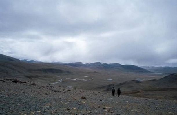
Source region of the Indus River in northeast of the holy Mt. Kailas
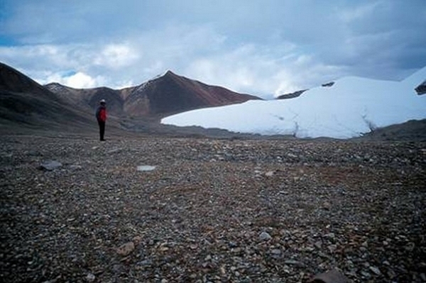
Source of the Salween River---glacier in southern slope of T'ang-ku-la Ranges
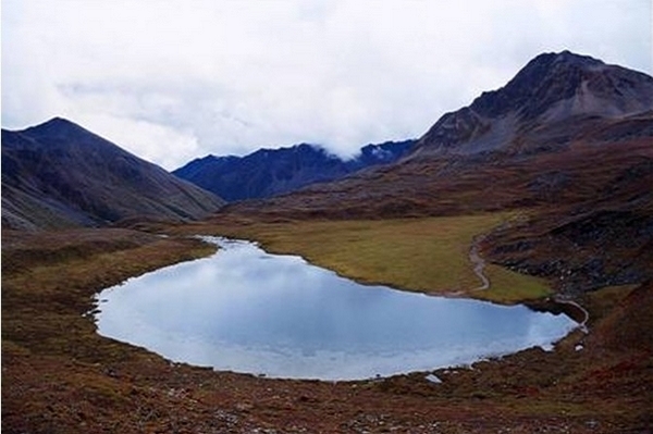
Source of the Irrawaddy River--- the Lake Laka